Today was my easiest day so far. I left Meyersdale a bit late because I knew I only had to ride 32 miles to Cumberland. The first 8 or 9 miles is an almost imperceptible climb, but then the trail crosses the Eastern Continental Divide and makes a wonderful descent over 23 miles, through three tunnels, to Cumberland on the Potomac River. There the Great Allegheny Passage ends and the C&O towpath starts. I left Pennsylvania and entered Maryland.
I especially love the last section before the Divide. The Allegheny highlands in Pennsylvania broaden out and the valleys in between are mostly farmland. The ravines and steep river valleys are long past. Its beauty is in spite of the fact that it was strip-mined at one point, and there is still evidence of that, though a lot of the damage has been slowly reclaimed.
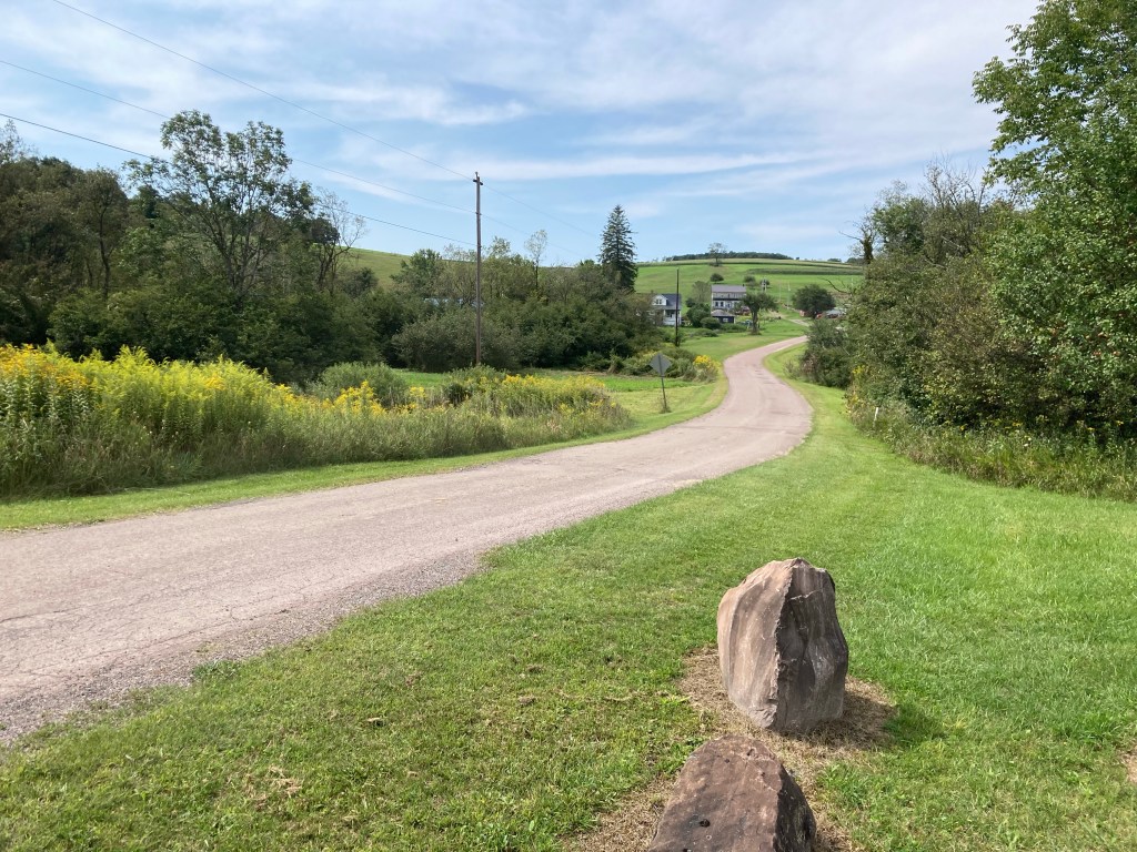
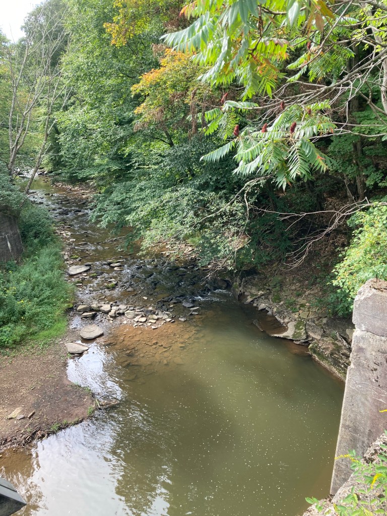
The large waterways have also disappeared. No more raging rivers, with their white water and rocky bottoms. Instead of the Monongahela or Youghiogheny or Casselman, there is just a small mountain creek, Flaugherty Run, which originates somewhere up on the gentle slopes of Meadow Mountain. It turns south and disappears just before the Divide.
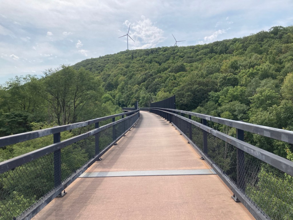
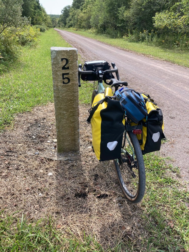
Once I was over the Divide, I started making faster time on the bike. I had stopped to take a lot of photos during the previous hour, so I hadn’t gone very far or very fast . But at this point the trail starts its descent into Cumberland, a 2% grade, and the cycling is about as easy as it can get.
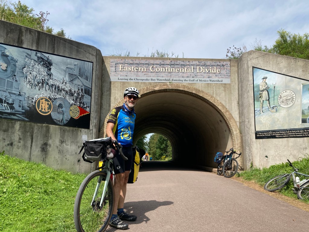
In addition, you go through three tunnels on the way down. The first one, Big Savage Mountain tunnel, is nearly 3,300 feet long. It has lights inside but I always take off my sunglasses before I enter. Two more tunnels follow before you get to Cumberland.
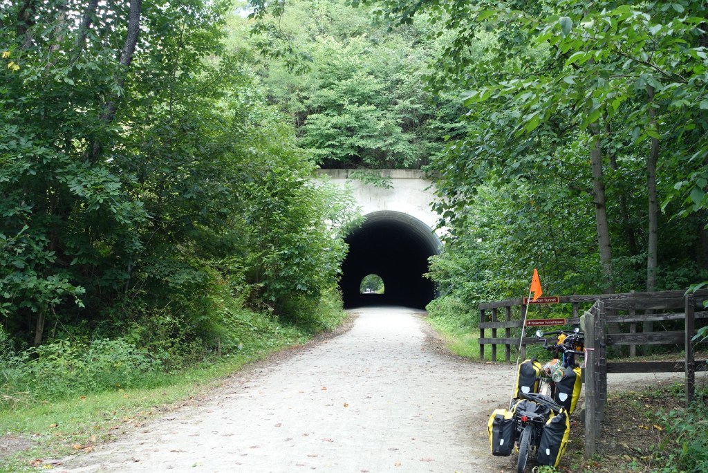
After leaving the Big Savage Mountain Tunnel, there is a fabulous overlook down the valley toward Cumberland, and it’s worth stopping and taking in the view. You also cross the Mason Dixon line, the traditional dividing line between the North and the South of the United States.
If you feel up to it, you can stop in Frostburg for some refreshments, but I wanted to keep going today. This section of the trail is very busy and I even passed some Amish families out for a ride down the mountain.
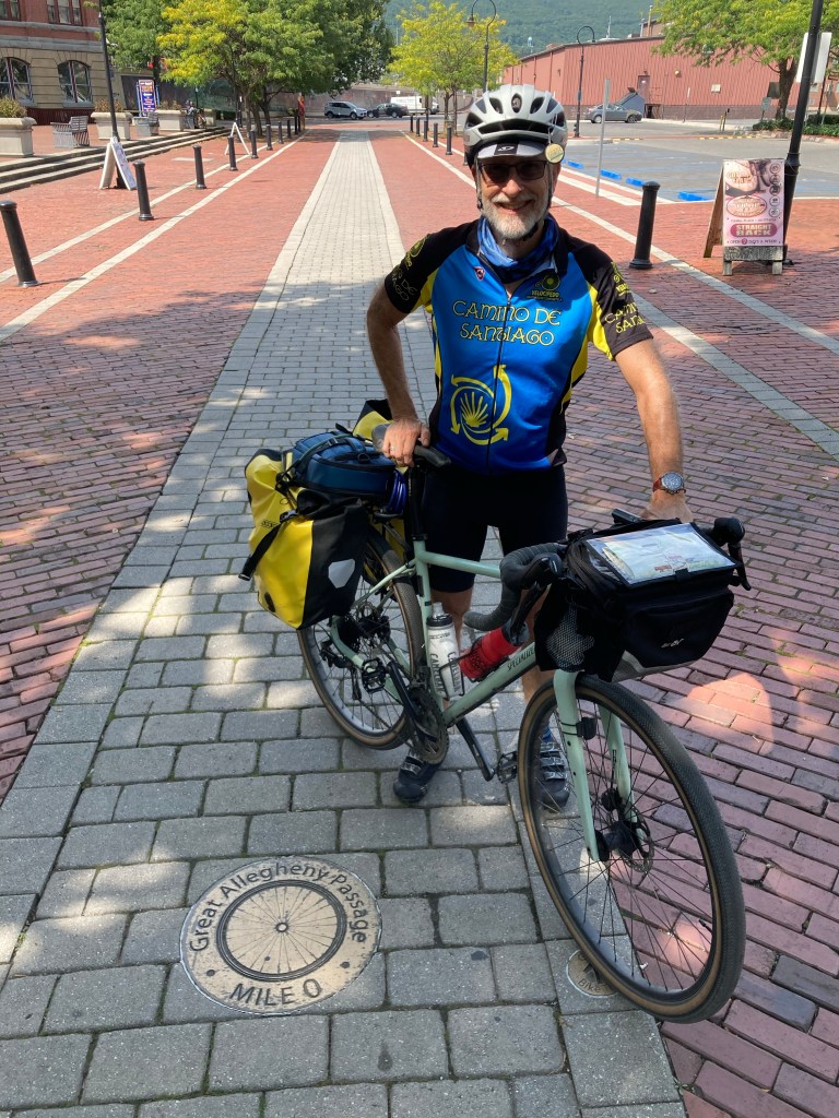
By early afternoon I had reached Canal Place, the junction of the two routes. Tomorrow I head out on the C&O towpath and a new adventure for me. I haven’t ridden this part before, and I’ve heard it is very challenging with lots of mud.
Russ Eanes is a writer/walker/cyclist from Harrisonburg, VA and the author of Pilgrim Paths to Assisi: 300 Miles on the Way of St. Francis and The Walk of a Lifetime: 500 Miles on the Camino de Santiago.

Really enjoying following your Bicycle trip. Many Thanks for sharing, and best to you for your travel, Kathe
LikeLike
congrats! your timing also features ideal weather. The C&O’s western sections can pose some challenges. You can switch over to the Western MD rail trail west of Hanover if you’re craving pavement, and the resurfaced section between Shepardstown & White’s Ferry will give you some relief from mud, roots, bumps & lumps. It’s easy to miss the large prison south of Cumberland unless its audio is blaring announcements. You can’t see the genuine point of rocks at Point of Rocks unless you’re in the river.
LikeLike
I’ll switch to the WMRT tomorrow. Today was not bad
LikeLike