“It’s a great Day to be alive.” These were the words that came to me 2 1/2 years ago when I begin my 500 mile journey on the Camino De Santiago in Spain. They came to me again today as I began my journey in Pittsburgh, at the Point. Back then it was a cool, wet March morning but this morning could not be more different.
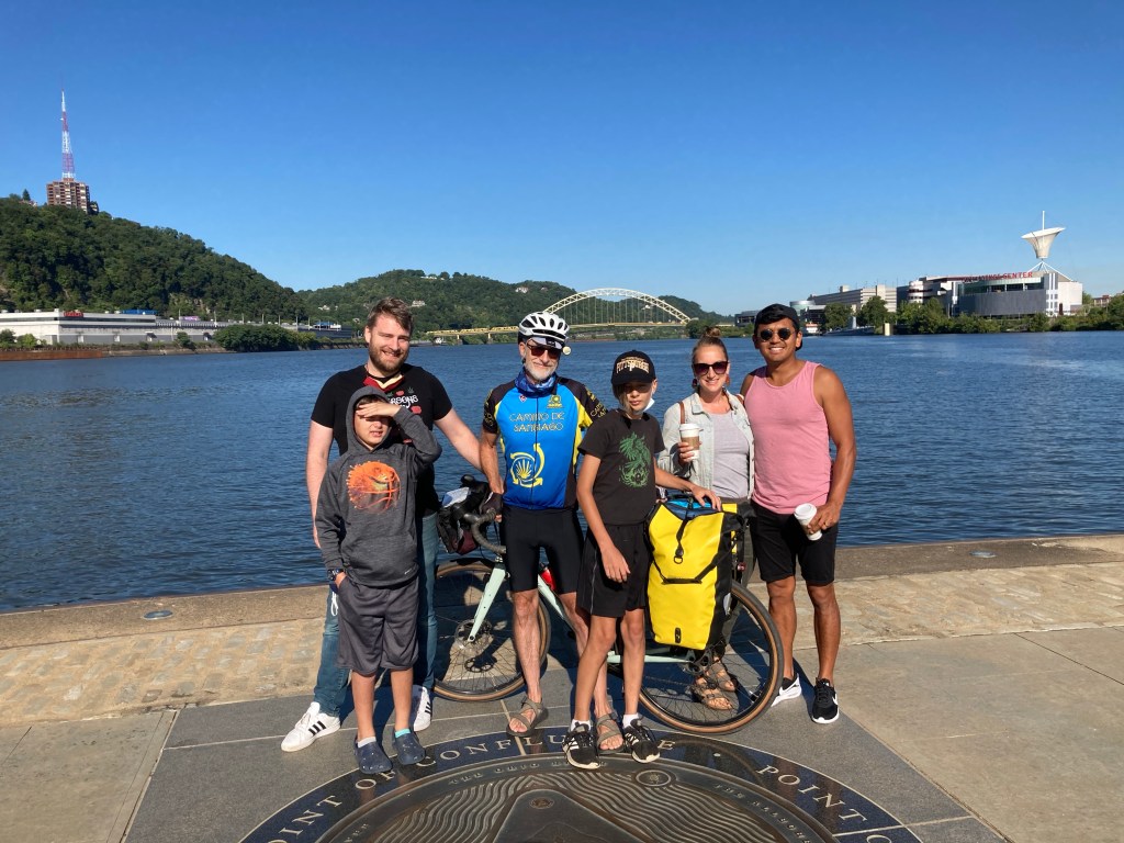
I began at The Point, formerly called the Forks of the Ohio, the place where the Allegheny and the Monongahela Rivers converge to create the Ohio River. The day has been warm—but not hot—sunny, and the city looked brilliant.
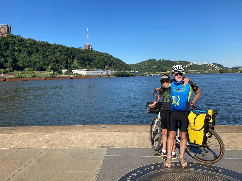
I was fortunate to have some family in town over the weekend. My son and two of the grandsons and my daughter and her husband, all who had driven up from Harrisonburg with me, came to give me a fantastic sendoff. To top it off, a friend of my daughter’s, who lives in town, wanted to ride with me for the first 15 miles, out to McKeesport.
It really is a dramatic spot to begin this journey. Even when I was a child, this place— I recall it being referred to as the Golden Triangle—has always been very special to me. Probably one of the most sensational city entrances you can make in North America is to drive through the Fort Pitt Tunnel and suddenly emerge onto the Fort Pitt bridge, crossing the Monongahela River to the Point., with the entire city skyline bursting into view. How fitting that this journey started at this very spot.
I have been at this spot before, but always has an ending point to this journey. This will be the fifth time that I have ridden between Pittsburgh and Cumberland, but the first time that I started this journey from Pittsburgh.
After my farewell we rode through the city along the rivers, following the course of the Monongahela as it twist and turns south, east and then south again finally to the point where the Youghiogheny River (prounced “yock-a-gainy” or also just called the “Yough”) joins it in McKeesport.
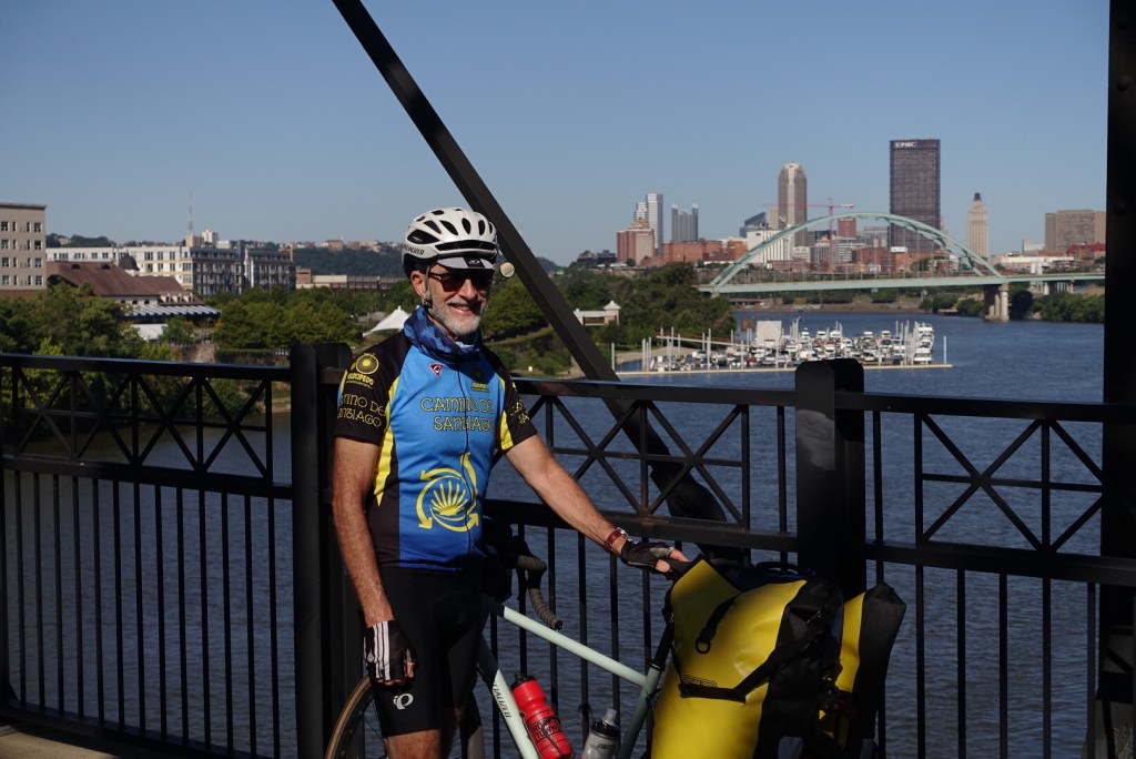

At that point my friend Taylor headed back into the city and I bade him for farewell and headed out solo for the rest of the day. I bet several groups of riders going in the same direction as me and we sort of hopscotched each other all day.
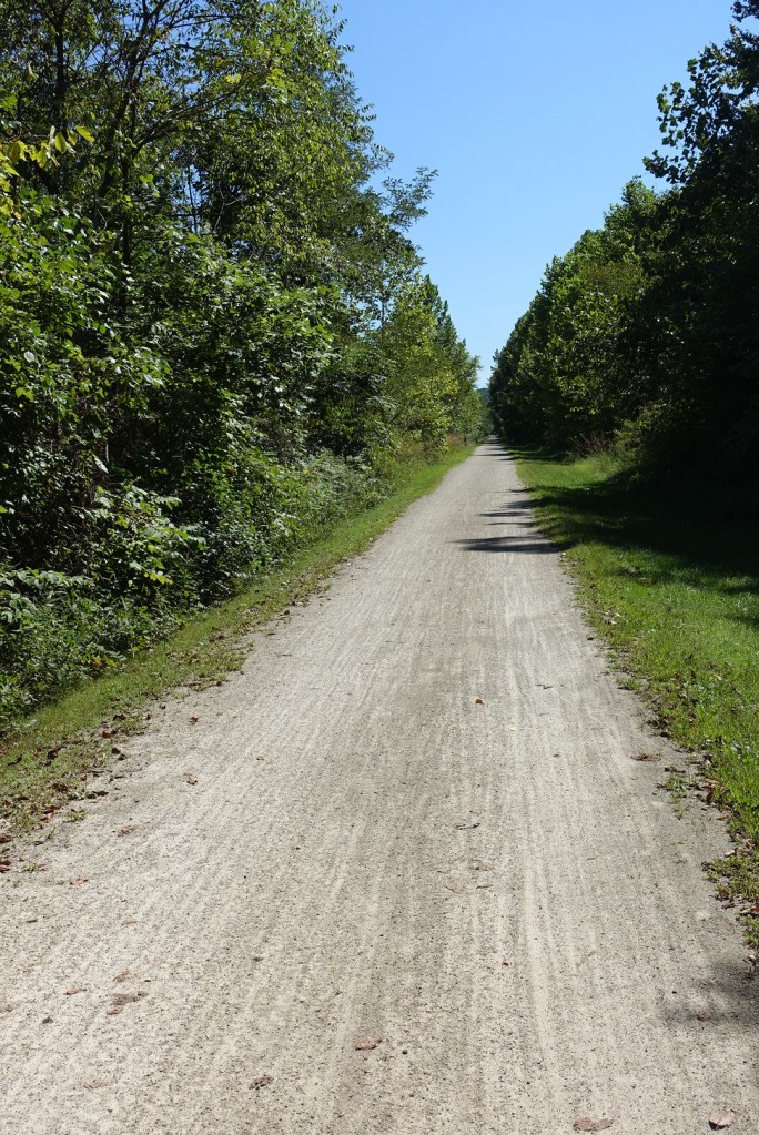
This is an especially fine part of the ride, and the crushed lime stone path has got to be the most wonderful thing to ride on, even better than asphalt in my opinion. Since the path is almost completely flat and it’s an old abandoned railroad bed, the surface is very smooth and hard. I took it easy most of the day, stopping to take a few pictures here and there. With all my stops I average about 12 miles an hour.
Once we have joined the Youghiogheny, we follow it for nearly another 70 miles.
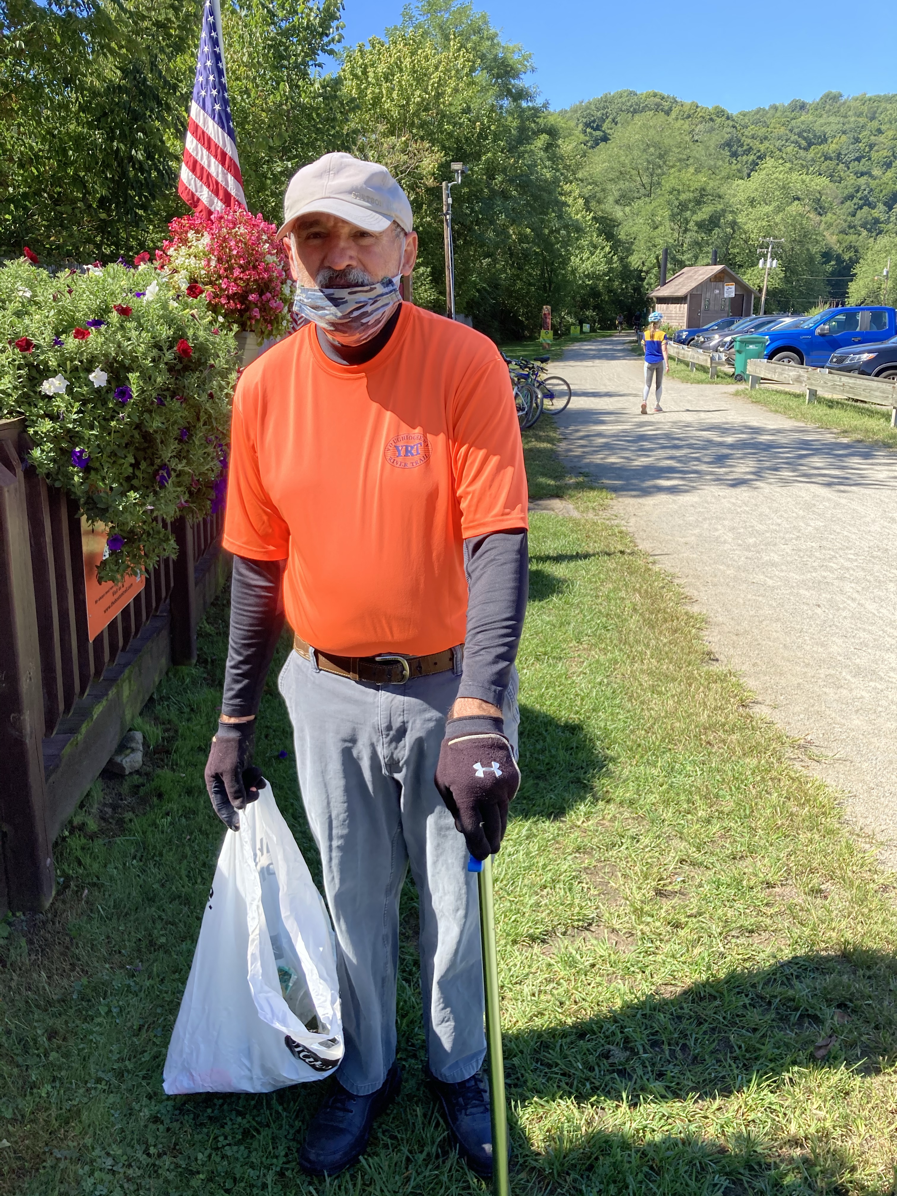
I met a trail volunteer at the visitor center in the town of Boston. I thanked him for his work (he was picking up trash) and he reminded me of the fact that most of the sections of the trail from Pittsburgh to Cumberland are maintained by local groups. It just shows how important the trail is to the local community and the local economy. This is a region of the country which has lost a great deal of jobs as the coal and steel industries have died.
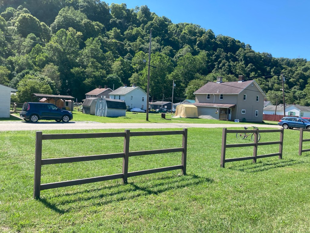
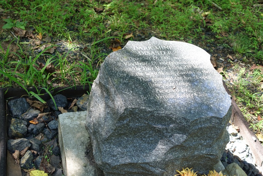
Along the way I continued to look for historical markers. I had taken quite a few pictures of local landmarks over the years and one thing that amazed me was how things are getting greatly overgrown. Some of the old mines which once dominated the landscape have now completely vanished. I have often said that this is a region of the has country which has tremendous natural beauty, but which also experienced an equally tremendous degradation from industry.
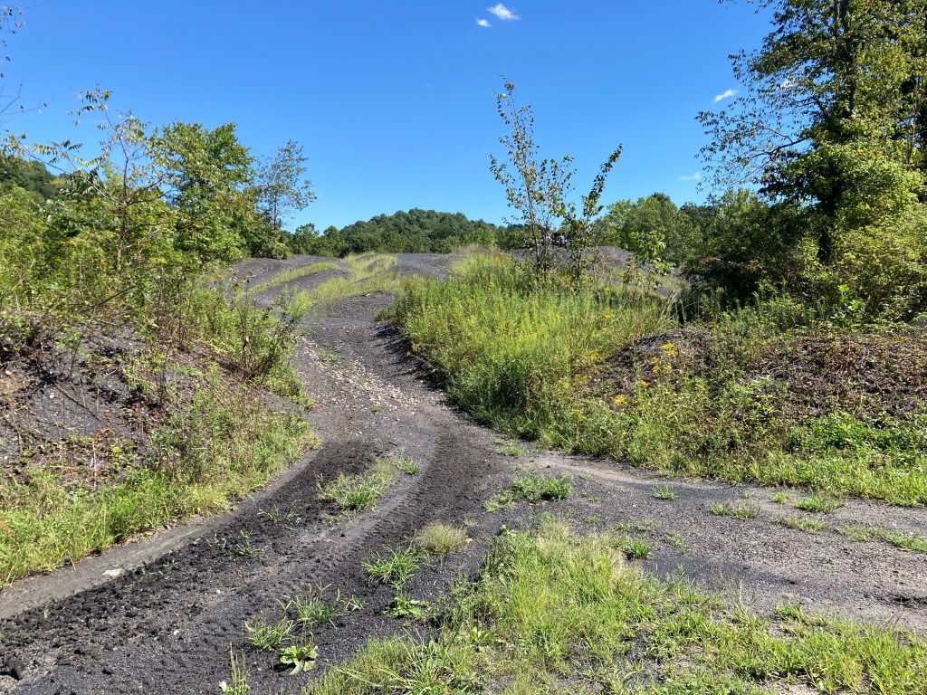
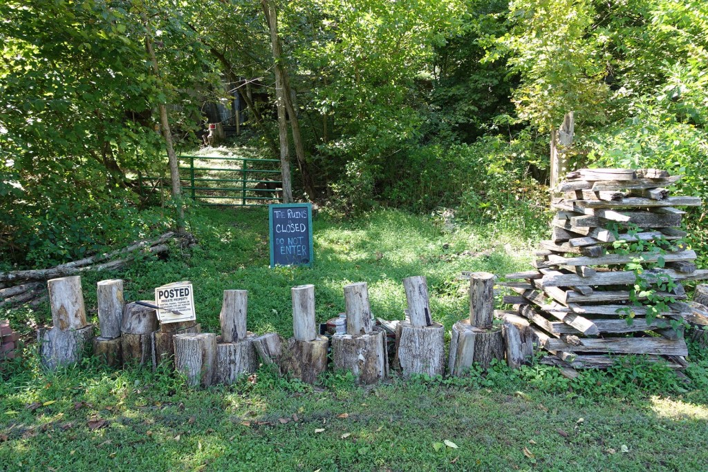
One of the biggest surprises for me was that I couldn’t find the old coke ovens near Adelaide. Perhaps I missed something but I have a hunch that they have just removed the markers because they don’t want people trying to tramp around the woods looking for them. I understand that it is now private property and off-limits like other places are off-limits. When I led tours along this route a decade or so ago, the old ovens were pretty easy to find, if you knew what you were looking for.
My last surprise was to run into a family of friends that I had known 20 years ago when I lived in this area. Totally by chance they were out on the trail this afternoon and recognized me as I passed by. A great way to end my day.
Tomorrow I leave Connellsville and head through the Youghiogheny gorge, probably the most spectacular sight on this ride.
Russ Eanes is a writer/walker/cyclist from Harrisonburg, VA and the author of Pilgrim Paths to Assisi: 300 Miles on the Way of St. Francis and The Walk of a Lifetime: 500 Miles on the Camino de Santiago.

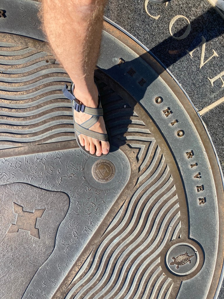
Great stuff! I see you wear your sandals when riding – cool! I tried once earlier this summer during the heatwave. Thanks for the posts. Enjoy and be safe!
LikeLike
Interesting history! I spent two summers near Pittsburgh as an intern for Alcoa. Beautiful city.
LikeLike